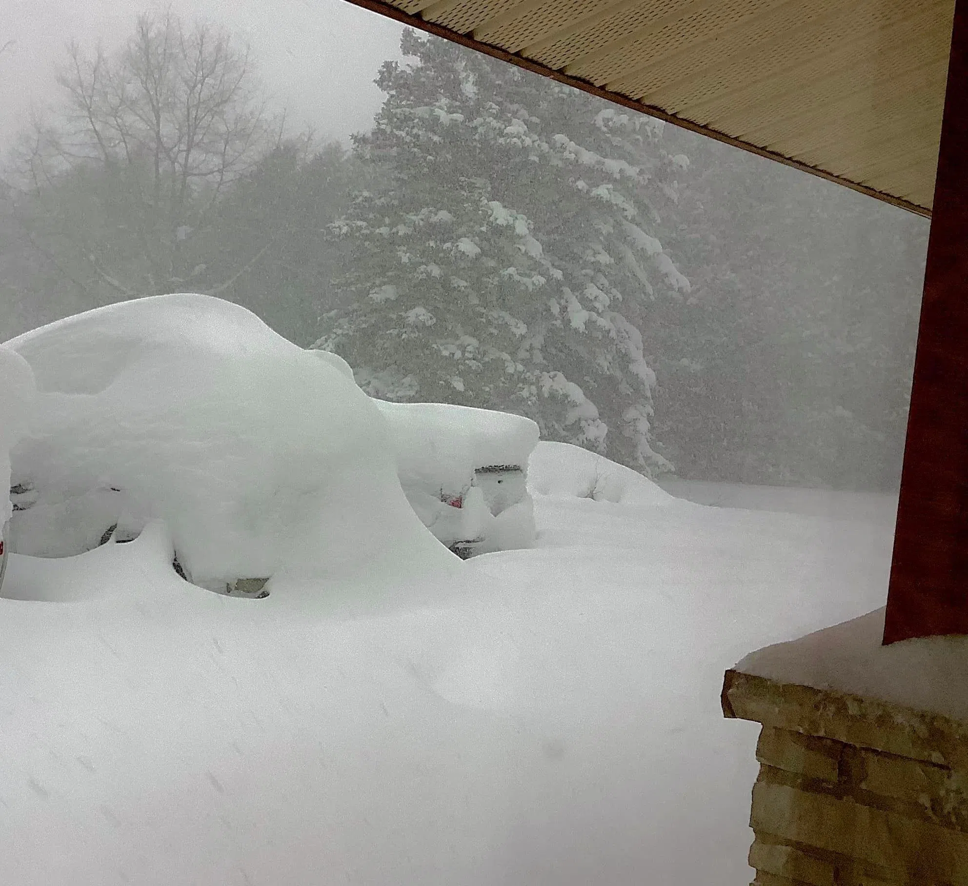
The multi-day snow event that blanketed most of Bruce and Grey counties left more than 120 centimetres of accumulation in the Wiarton area.
Environment Canada meteorologist Geoff Coulson says the lake effect snow event brought squall activity to most of the region, but the Bruce Peninsula was most likely the hardest hit.
The snow started falling last Thursday evening and intensified at different times over the next few days, before the heaviest stuff tapered off by Sunday evening.
Coulson says the monitoring station at the Wiarton Keppel International Airport recorded somewhere between 120-125 centimetres had fallen during the multi-day weather event.
He says the single day snowfall record for the observation site in Wiarton was actually broken yesterday — Sunday, Nov. 20 — when 53.4 centimetres hit the ground. Coulson says the previous single day record at the Wiarton site was 51.4 centimetres, set back on Jan. 31, 1982.
Coulson says data from other volunteer recording sites in the region is still being compiled but most of them didn’t observe snowfall amounts through the entire event.
He says it’s safe to say other areas in Grey Bruce received “significant snowfall amounts,” but it’s likely the Wiarton area and parts of the Bruce Peninsula were the biggest numbers as they were the spots that received the most consistent snow squalls.
While the worst weather is behind us, moving ahead today Coulson says strong winds in the region could cause some blowing snow.
He says the next major weather system that could affect the region will move in Thursday night or Friday morning, which will bring a mix of rain and snow with temperatures just above the freezing mark.

(photo supplied by Stu Paterson)


